
Recommended walking routes and sites of interest
-
West course
Approx. 60 mins.
After strolling through the residential areas of the Shumoku-cho Suji, Chikara-machi Suji and Shirakabe-cho Suji with their lovely houses of Taisho-Period romanticism, this scintillating course takes in the Nagoya City Archives and the Aichi Prefectural G
-
East course
Approx. 40 mins.
The east course sweeps through the old main road and takes in the Nagoya Ceramics Hall, Tokugenji Temple and Tokugawaen.
-
Temple course
Approx. 120 mins.
This route virtually drips with history and culture, taking in shrines, temples and churches.
周辺施設
-
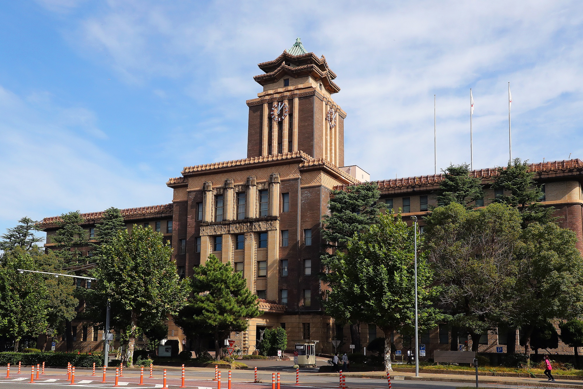
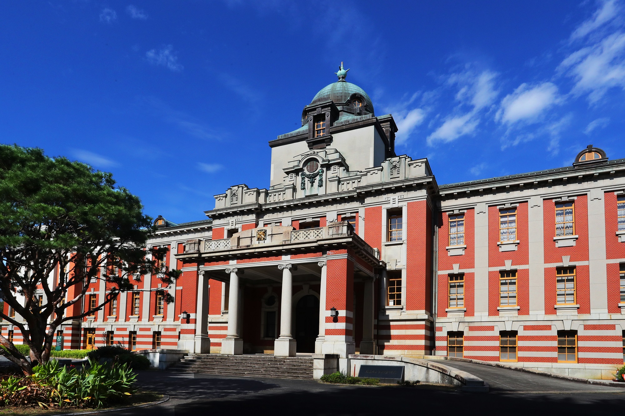
The Nagoya City Hall main building
-
Nagoya City Archives
-
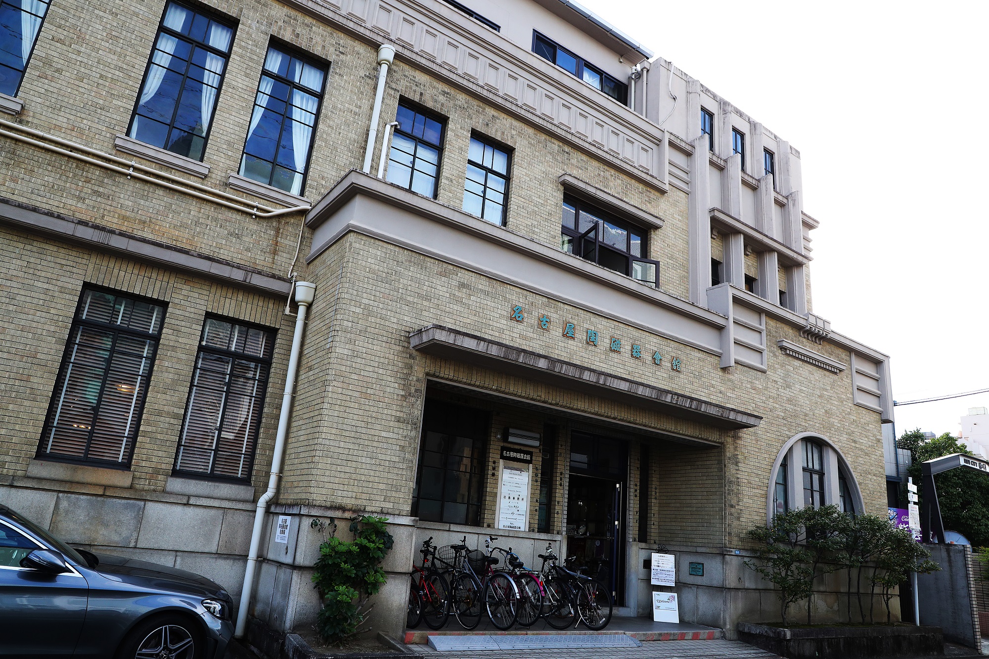
Nagoya Ceramics Hall
-
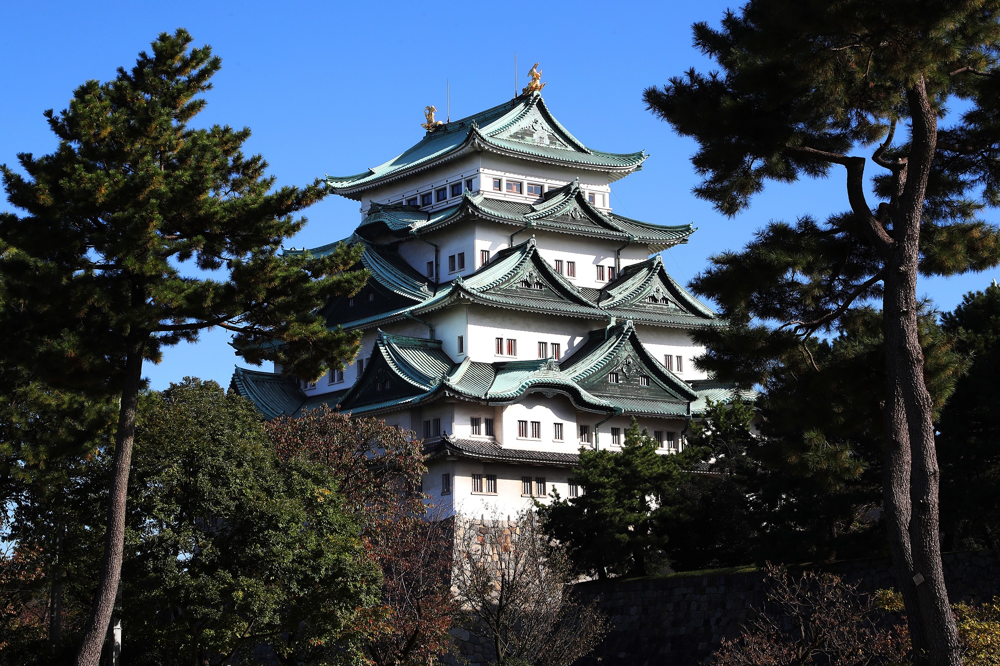
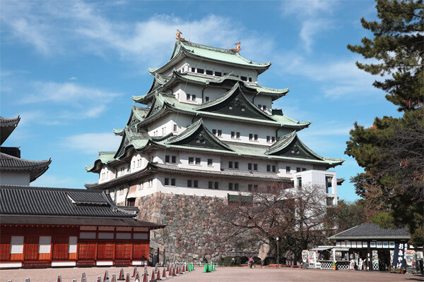
Nagoya Castle
-
Hosa Library
-
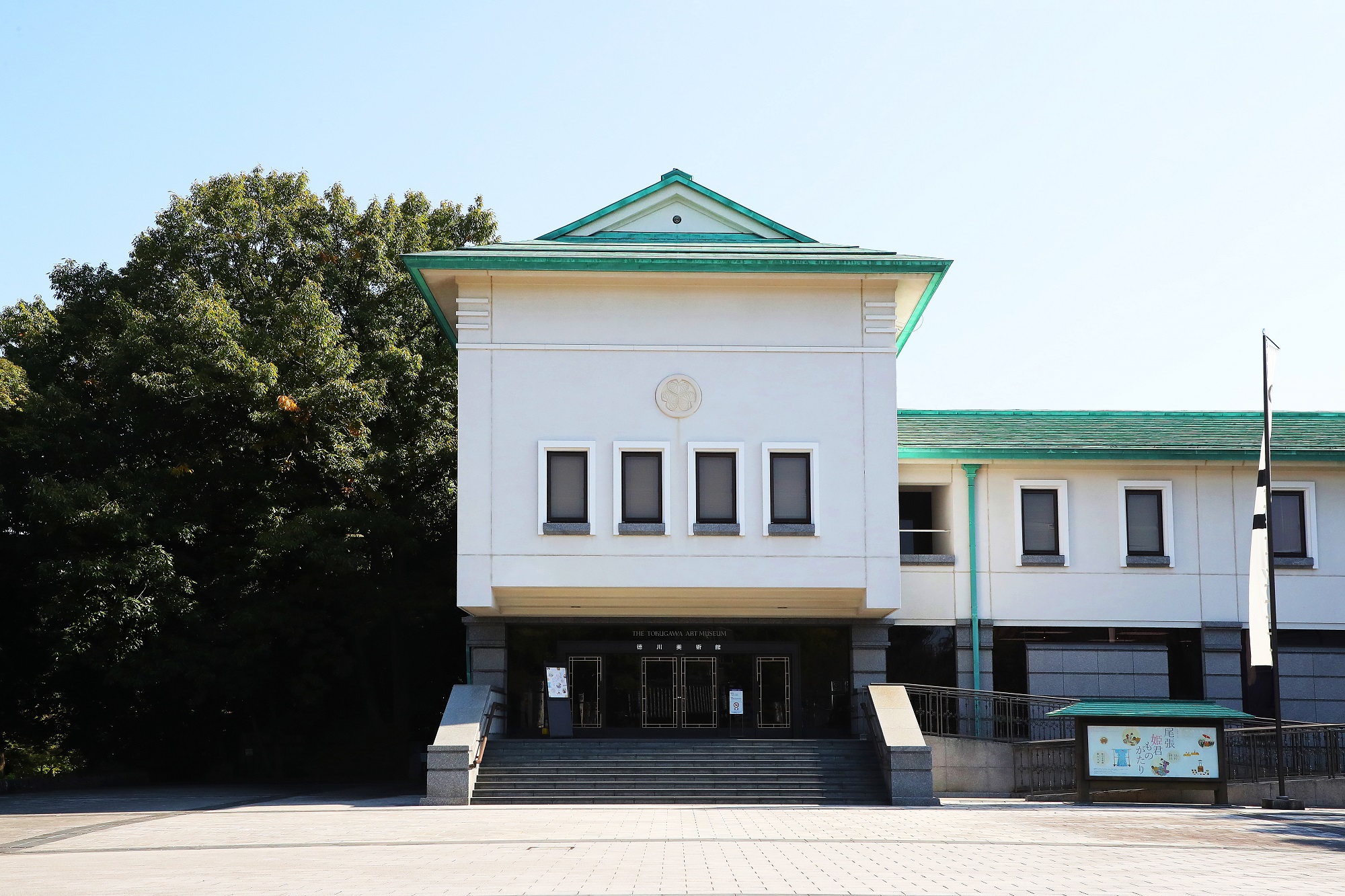
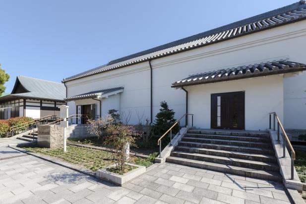
Tokugawa Art Museum
-
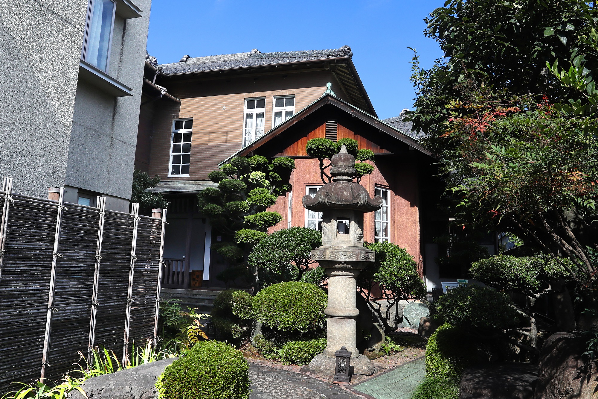
Residence of the late Tetsujiro Haruta
-
Former Sasuke Toyoda Residence
-
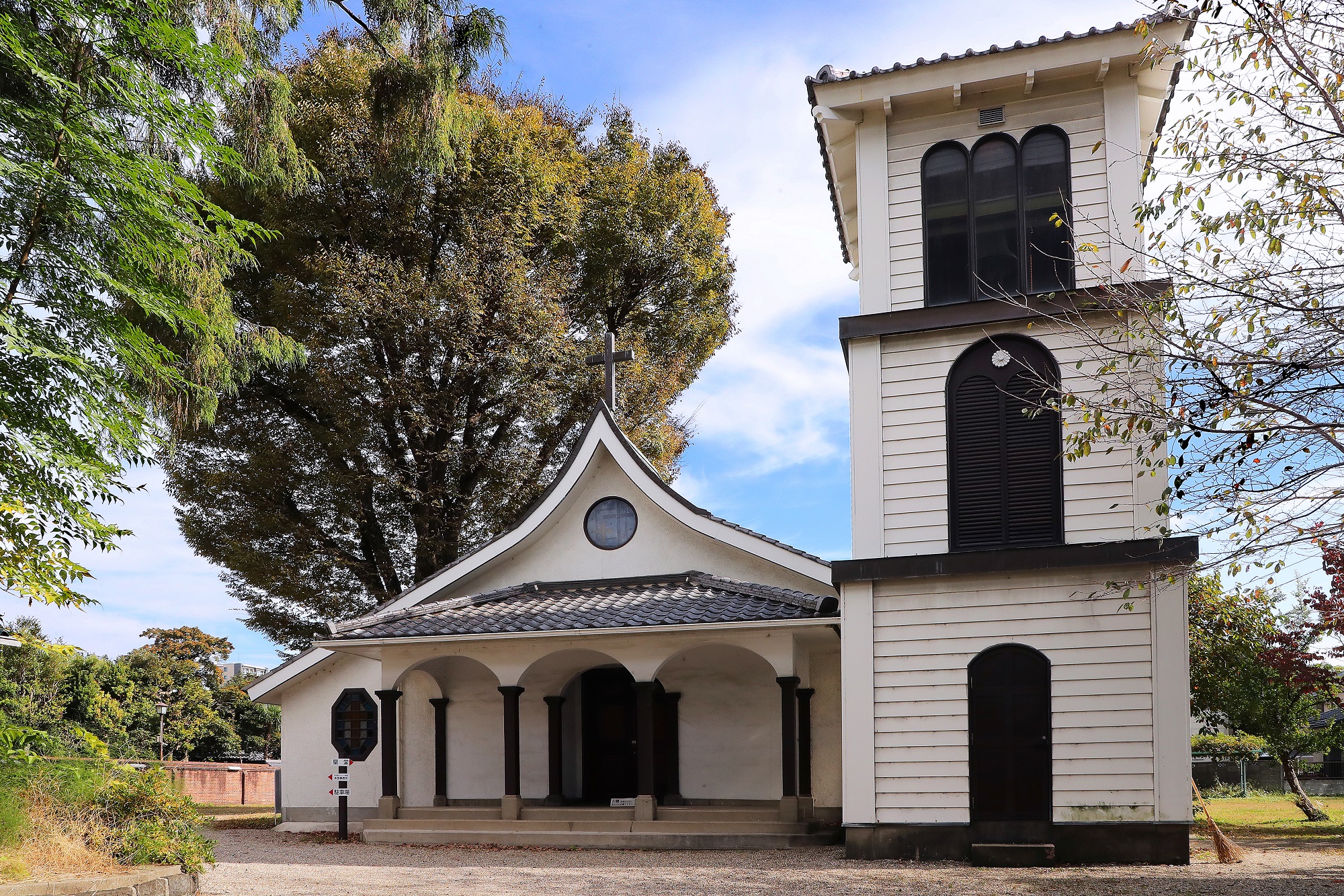
Chikaramachi Catholic Church
-
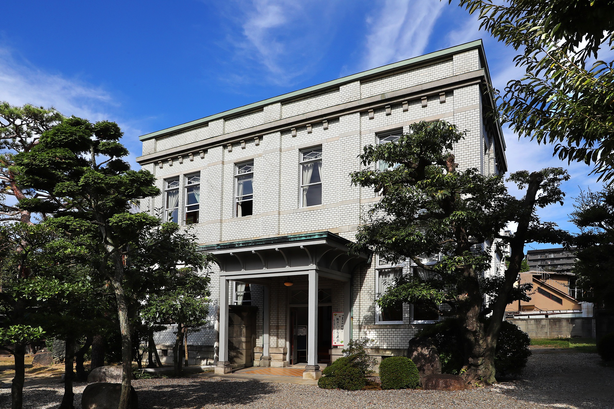
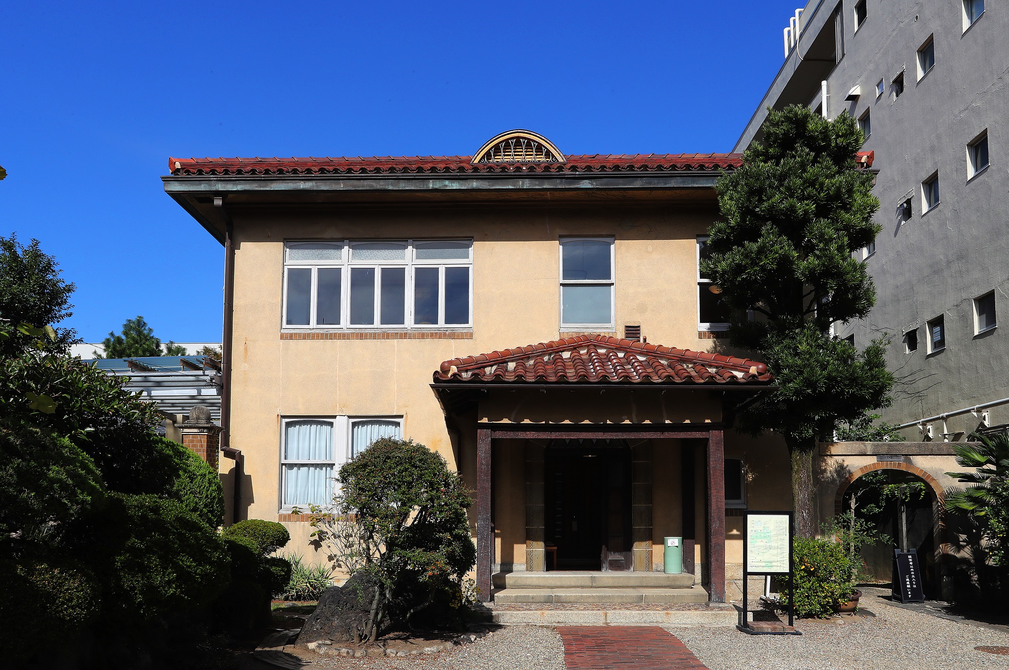
Cultural Path Futaba Museum
-
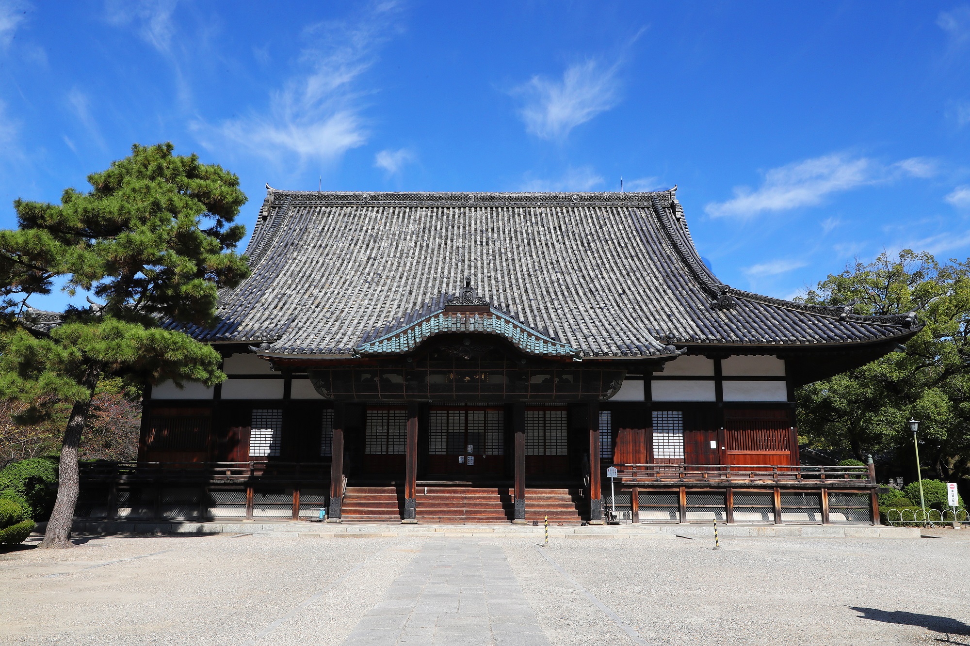
Kenchuji Temple
-
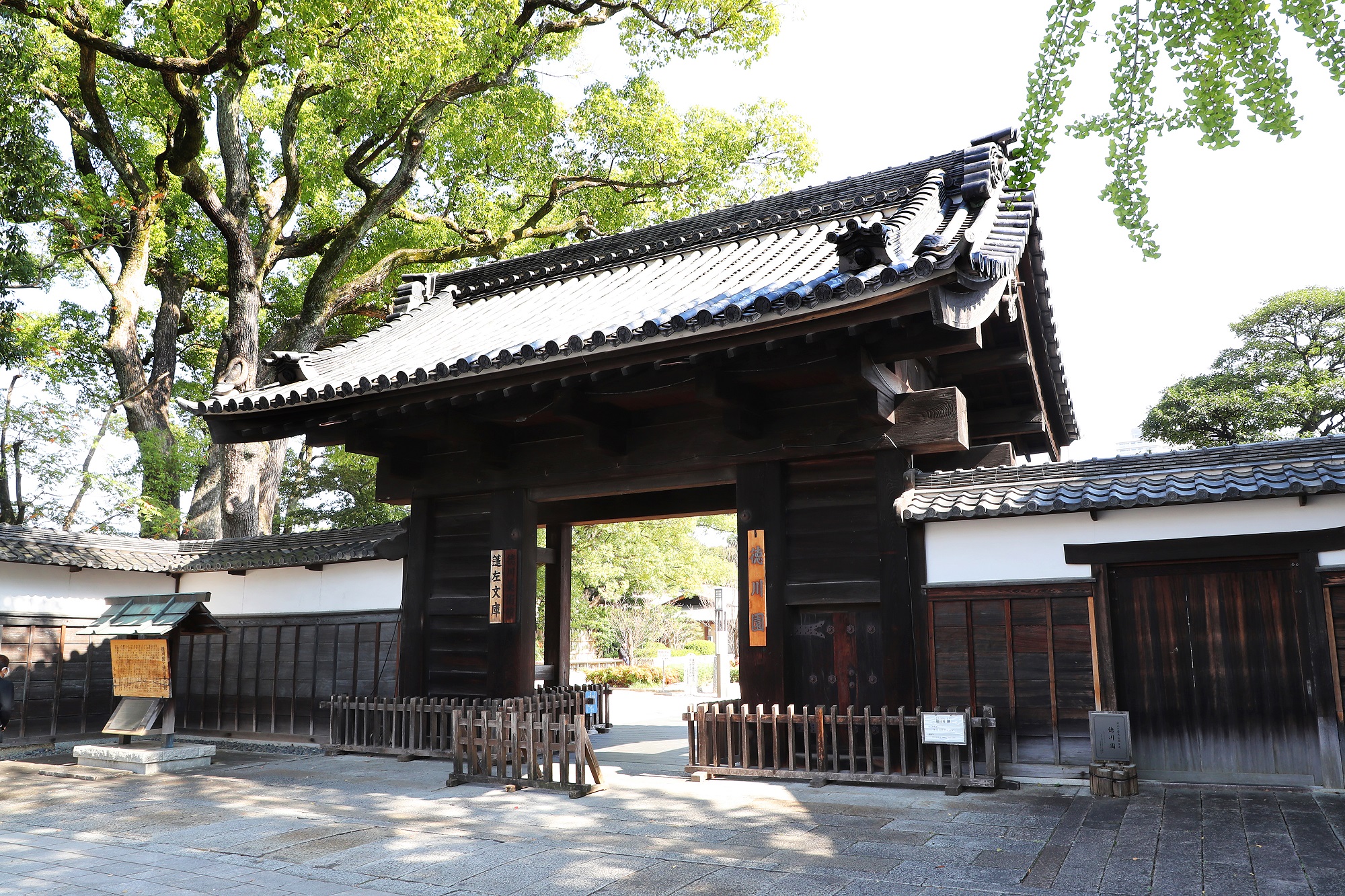
Tokugawaen
-
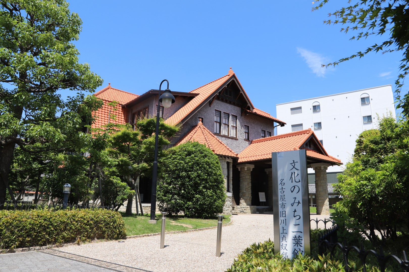
Cultural Path Shumoku Museum